Portland weather forecast: Cold air and persistent fog linger through midweek
Temperatures in the upper 40s mark the coolest day since early March, with rain chances increasing as a stronger system arrives Friday.
By Tariq Carter ·
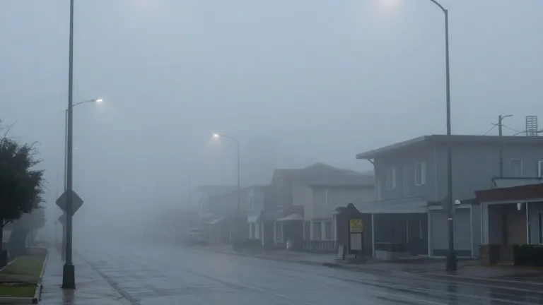
A wintertime inversion trapped cold air across the Portland metro and valley on Sunday, keeping temperatures in the upper 40s and blocking sunshine for the entire day. This pattern made Sunday the coolest day in the region since early March, while the coast and mountains enjoyed clear, sunny conditions.
The inversion occurs when cold air settles into low-lying areas, a phenomenon that becomes more common in November due to shorter daylight hours that limit the time available for the valley to warm up. Historically, about half of November days in the metro area are cloudy.
Monday will remain overcast as fog redevelops overnight in the western metro and valley, potentially causing poor visibility in some areas. High temperatures are expected to reach the low to mid 50s, with spotty drizzle possible in the Cascades and along the northern coastline.
Tuesday, which coincides with Election Day, will be mostly cloudy with a slight chance of sun breaks just before sunset. Highs are forecast to climb into the low 60s. A weak weather system will bring light showers to the metro area on Wednesday, likely totaling 0.10 inches or less.
Thursday is expected to be dry before a stronger system arrives on Friday, bringing light rain primarily in the morning. This system may deposit approximately one-third of an inch of precipitation. The weekend will follow with mainly dry conditions and a mix of sun and clouds.
Source: KPTV
More Business · Rip-Off Report · Report a business · Got a Story?