Tesla builds its own maps after admitting third-party data limits FSD
The automaker is developing a new AI-driven mapping architecture to address persistent errors in speed limit detection and routing, a strategic pivot from its previous vision-only approach.
By Aminata Patterson ·
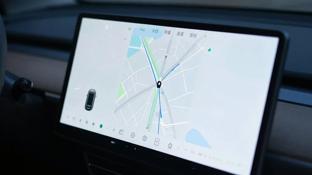
Tesla is constructing its own proprietary mapping system to correct recurring errors in its Full Self-Driving software, marking a significant operational shift for the electric vehicle maker. The company’s leadership revealed the initiative during the Q3 2026 earnings call, acknowledging that the fleet requires dedicated data to handle basic navigation tasks more reliably.
This development represents a notable departure from the stance taken by CEO Elon Musk in previous years. He had long argued that self-driving systems dependent on detailed maps were brittle and inefficient. The new strategy effectively aligns Tesla’s operational model with that of competitors like Waymo, which also utilizes fleet data to map roadways and define operational boundaries.
The decision stems directly from shareholder feedback regarding the performance of the Full Self-Driving system. A retail investor noted that mapping remains a critical pain point, specifically citing issues with reading speed limits, executing parking maneuvers, and selecting typical routes. The query asked why the company continues to rely on external data providers rather than developing an internal solution.
Ashok Elluswamy, Tesla’s Vice President of AI, agreed with the premise that the company should not depend on maps created by external entities. He explained that Tesla is developing a new architecture for mapping and navigation based on artificial intelligence. This system will be fed by collective learning from the vehicle fleet and is designed to adapt to individual driver preferences and voice commands.
The implementation of this technology is already underway. Elluswamy stated that the system will initially manage the start and end of trips with the release of FSD version 15. Over the coming months, the new map layer is expected to take over broader navigation functions, including parking and destination handling.
This move follows a history of mixed messaging regarding the utility of high-precision maps. In 2015, Tesla told Fortune it was building maps with significantly higher granularity than standard navigation tools. However, at the 2019 Autonomy Day, Musk described high-precision lane maps as a huge mistake that made systems extremely brittle. He famously dismissed lidar as a fool’s errand, suggesting that cameras and AI alone could solve driving challenges in any environment.
Despite these past statements, the company is now using its fleet to create a map layer to fix issues where the vision system fails. Recent data highlights these shortcomings. A Belgian road safety group found that FSD vehicles exceeded speed limits in 55% of 30 km/h zones in Brussels. In the United States, the NHTSA is considering an investigation into claims that Tesla Robotaxis speed through active school zones, involving approximately 1,000 Model Y and Cybercab vehicles.
The new approach mirrors the operational model of Waymo, which maps cities by driving sensor-equipped vehicles through them before launching service. While Tesla is not currently building centimeter-level high-definition maps, the fleet-built data could evolve into a more detailed infrastructure. This strategy supports the current Robotaxi service, which operates within small geofenced areas in specific cities. The company continues to target unsupervised FSD for consumer cars in Q2 2027, but the reliance on internal mapping suggests a more constrained operational scope than previously envisioned.
Source: Electrek · original report published
More Business · Rip-Off Report · Report a business · Got a Story?