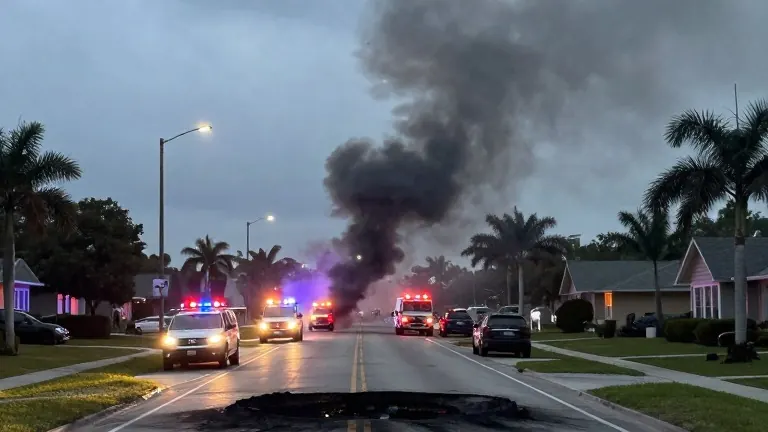
Gusty winds and rain expected in Omaha before and on Election Day
Forecasts call for 45 mph gusts and isolated tornado risks Monday, with cooler temperatures and showers continuing through Tuesday.
By Tariq Carter ·
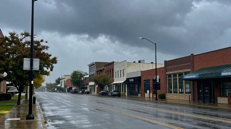
A low pressure system moving out of the Rockies will bring strong winds and two rounds of precipitation to the Omaha area on Monday. Scattered showers will develop overnight, with storms possible by sunrise. Morning commuters may face slower travel if they encounter heavy downpours. Temperatures are expected to start in the low 60s Fahrenheit.
The first wave of rain will move eastward by midday, allowing for some sunshine in the afternoon. Winds will pick up, with gusts reaching up to 45 mph. Air temperatures will rise into the low and mid 70s, creating humid conditions. A second round of storms will form after 5 p.m. in eastern Nebraska.
These later storms may produce gusty winds and small hail. Meteorologists note a low probability for an isolated tornado. After-school activities should proceed as scheduled, but evening travelers should monitor weather updates. The system will remain over the central United States through the middle of the week.
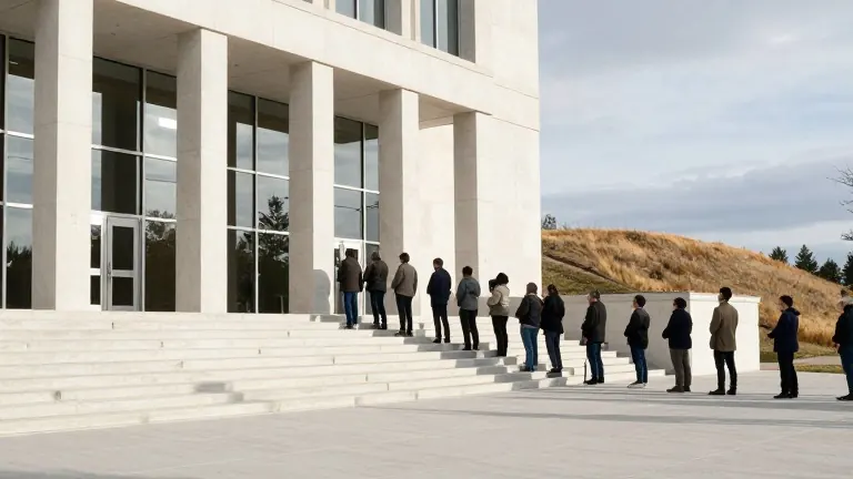
Scattered rain and gusty winds are possible from Tuesday through Wednesday. On Election Day, voters should expect temperatures in the mid to upper 50s. Showers may occur intermittently throughout the day. Long lines extending outside polling places may require voters to wait in the weather.
The rest of the week will feature typical fall weather, with highs in the upper 50s and low 60s. Morning lows will hover around 40 degrees. No freeze is currently forecast for Omaha until next week. This timing could place the first freeze close to one of the latest dates on record for the metro area.
Signs point to a clipper low moving across the region next weekend. This system may bring showers on Saturday and Sunday, along with cooler and blustery afternoons.
Source: WOWT